
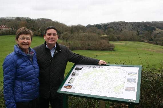
VISITORS and residents will be able to view Steep in a new way thanks to an outdoor map at a beauty spot.
Erected by Steep Parish Council at the top of Mill Lane, its lofty location overlooking Ashford Hangers will help guide walkers and cyclists, and provide information on the view.
Councillor Jim MacDonald of Steep Parish Council, said: “One of our parish plan objectives is to help residents and visitors enjoy our outstanding landscape to the full, whether that is interpreting the view using our new map board or tramping our many footpaths.”
The map includes local attractions and landmarks such as the Poet’s Stone, Lutcombe Pond, and the Shoulder of Mutton hill.



It also provides information on wild flowers that grow in the area, as well as showing the local network of footpaths and bridleways.
The board was partially paid for by contributions, including a £250 grant from East Hampshire District Council councillor for Froxfield and Steep, Nick Drew.
He said: “I was delighted to help through my Councillor Grant fund.
“The map really enhances the experience for walkers, as well as the residents themselves.”
Hampshire County Council and Steep Parish Council also contributed.