
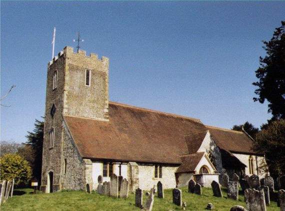
A TALK with maps showing how Buriton and the neighbouring parishes looked 180 years ago is being given by local historian Rob Mocatta.




Between 1836 and 1845 detailed surveys were undertaken in the vast majority of rural parishes across the country, and a detailed map was printed for every parish.
Everything was mapped and measured and all the residents were recorded along with any taxes (tithes) paid to the church or rents paid to landlords; the maps also showed every building, field, footpath, road, wood and feature in the parish.
Buriton Heritage Group spokesman Doug Jones said: “With support from the Hampshire Records Office, Robert has transferred all the information onto modern-day maps and so he is able to show what has changed over the years.
“In what promises to be a fascinating insight into the history of a rural parish, his illustrated talk will explain what Buriton was like 180 years ago and make comparisons with some neighbouring parishes.”
The free-entry talk in Buriton Village Hall at 7.30pm on Wednesday, March 21, is open to everyone. There will be a retiring collection to cover costs.