
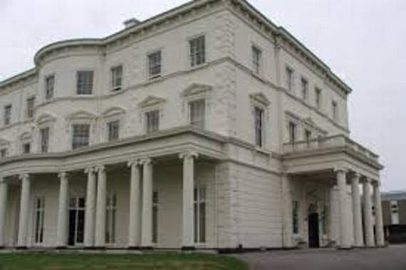
THE map that played a crucial role during the World War Two invasion of Europe in 1944 will remain where it is.
There were fears the large floor-to-ceiling wall map at Southwick House, near Portsmouth, could be lost forever when The Ministry of Defence announced its intention to sell the property.
The house and surrounding fields are due be sold to developers for housing.
But the government has agreed pleas to preserve it in-situ from Hampshire County Council (HCC) and Southwick and Widley Parish Council.


HCC leader Councillor Roy Perry says this will ensure the map’s crucial role in history can be protected for future generations.
He said: “This is excellent news. It is vital that the events of D-Day are acknowledged, and that the surviving features from this time are specifically mentioned in the listing description of Southwick House. “D-Day was an event of such significance for Hampshire, and the whole of Europe.
“We trust this amendment now gives the map further protection and prevents any risk of it being separated from Southwick House.”
Allied commanders led by General Eisenhower used the plywood map to plan and co-ordinate the Normandy landings, which were a crucial turning point during the Second World War.
Over 70 years later, the map set to 0630 hours, D-Day H-Hour, 6 June 1944, has remained unchanged